
Peri-urban Observatories: The Case Study of La Cantueña in the Metropolitan Area of Madrid
DOI:
https://doi.org/10.15168/xy.v8i14.3178Keywords:
periphery, residual land, sprawling cityAbstract
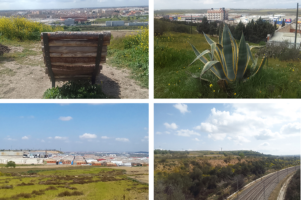
The term ‘periphery’ and the expression ‘peri-urban territory’ are currently generating conceptual confusion, both in collective imagination and academic debate. This is reflected in the diverse methods used to investigate and represent areas that defy categorisation and cannot be defined univocally. Such areas are often described as marginal, unresolved, residual, transitional, and also as zones of opportunity. In response to the rapid urban expansion of major global metropolises, various international approaches and novel investigation methodologies have been developed. These aim to understand and represent the inherent indefinability of peri-urban spaces and to re-evaluate obsolete concepts of the periphery, historically defined in opposition to and dependent on the urban centre. This article explores the potential use of residual zones as peri-urban observatories, understood as tools for investigation and visual education for the community, emphasising the importance of direct observation. It presents the case study of a potential peri-urban observatory within the Iberian Peninsula, in the Madrid Metropolitan Area: Los Cerros de la Cantueña, a group of four hills commonly referred to as La Cantueña. Due to its elevated position relative to the surrounding plain, Los Cerros de la Cantueña serves not only as a biodiversity reserve and public park but also as a privileged vantage point. From these hills, one can observe industrial areas, large shopping centres, residential blocks of urban settlements orbiting central Madrid, the various road infrastructures linking them to the ‘centre’, and the centre itself.
Downloads
Published
How to Cite
Issue
Section
License
Copyright (c) 2025 Alessandra Coppari

This work is licensed under a Creative Commons Attribution-NonCommercial-ShareAlike 4.0 International License.

